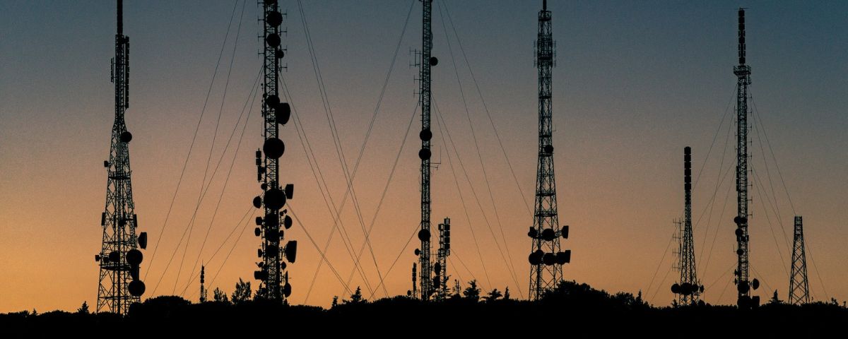
The Indian government is embarking on a comprehensive initiative to geotag all telecommunications infrastructure across the country, commencing with Bharat Sanchar Nigam Limited (BSNL) and subsequently extending to private telecom players. This strategic decision aims to enhance resource utilization efficiency, particularly during natural disasters. The Department of Telecommunications (DoT) aims to geotag key telecom infrastructure, including telecom towers and optical fiber cables, by 2027 to facilitate coordinated response efforts.
The implementation of this initiative will involve close coordination between the DoT, other ministries, and state governments. Sharing data among departments and state governments will be crucial for the successful geotagging of telecom infrastructure, which will also support various projects reliant on telecom infrastructure as a critical backbone.
An official highlighted that geo-mapping holds significant importance for the DoT’s long-term vision for 2047. Despite extensive deployment of telecom infrastructure by operators nationwide, the lack of comprehensive mapping poses challenges in tracking infrastructure during natural disasters. However, once the mapping data is available, identifying the nearest assistance points during network outages in affected areas will become considerably more efficient.
While telecom operators currently possess systems for coordinating and sharing infrastructure during natural disasters, the introduction of geo-mapping promises to streamline these processes further. Initial efforts may focus on geotagging BSNL infrastructure, with stringent measures in place to safeguard the integrity and confidentiality of the data against potential misuse.
Looking ahead, the government envisions a future where complete details of telecom infrastructure locations are readily accessible through geotagging, ensuring enhanced preparedness and response capabilities during emergencies.


